

A book which charts the exact route of the Islamic Hijrah was launched tonight at the Royal Geographical Society.
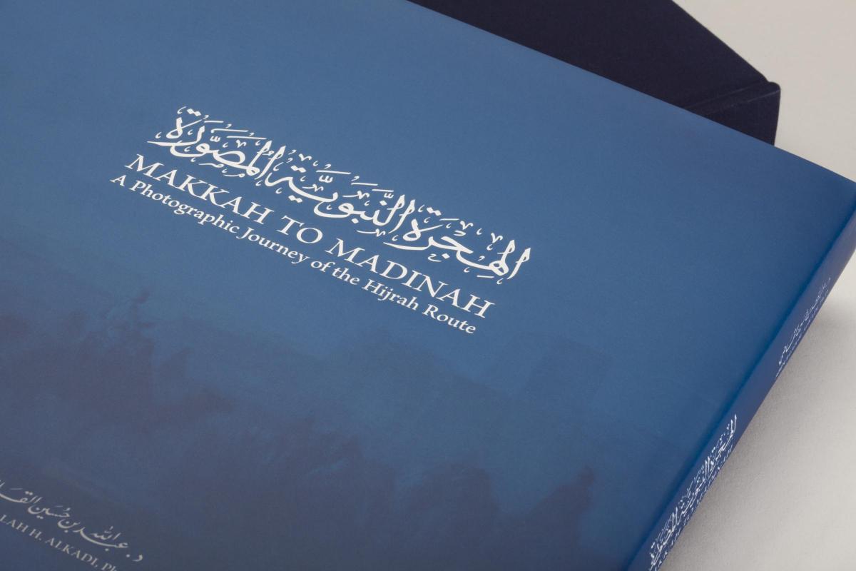
‘Makkah to Madinah’: A Photographic Journey of the Hijrah Route is a unique and unrivalled piece of work which is backed by a decade of research by author Dr. Abdullah H. Alkadi.
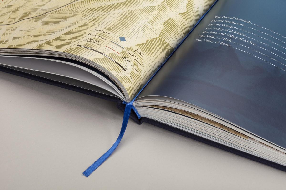
He relied on the latest GPS technology, ancient maps and anecdotes from interviews with the locals along the way, to map this historic pathway.
The book features pictures from the 400km route by renowned photographer Peter Sanders.
The Hijra is described as the migration of the Prophet Muhammad (PBUH) and his followers took from Makkah to Medina in June 622 CE.
But as well being an important historical and scientific piece of work this was also quite personal for the author.
Speaking to Asian Image this week, Dr Alkadi said he envisaged it would take a year to conduct the research. But then found it would take a little longer to accurately indentify the exact route of the migration.
“I started in 2003 in a bid to identify the route of the exact migration. It was surprising as I thought it would not take so long to research this. “It proved difficult because there are so many narrations which mention different landmarks.
“Some narrations are quite detailed whilst others are very brief so collating this information to decide the exact route was time-consuming.”
Dr Alkadi, who is Vice President of the University of Dammam, Saudi Arabia, spent many years travelling to the challenging terrain so he could accurately as humanly possible, track this monumentally historic route.
“I spent two years searching for one place in particular, I continued alone, I lost my shoes and walked on injured feet!
“In fact, the majority of the route was covered on foot, as the terrain doesn't allow for cars and many of the discoveries were made because we were walking, such as pottery, milestone markers and ancient buildings.”
He conducted many field expeditions, cross-checking landmarks and calculating exact distances. He also examined every available resource from the Hadith and Seerah literature (Life of the Prophet) to historical documents maps from the eighteenth century.
After many years Dr Alkadi feels he reached his original goal: to determine as precisely as possible the exact route of the Prophet's Hijrah.
In the book he lists specific points and references and links them to points in history, “I spent many weekends travelling to the area but it was important from the onset to study all previous attempts. “One must give credit to that research.”
“Whilst the terrain may seem difficult to an outsider you would find that to someone living in the area it is of little hindrance.
“Yet, we found certain points surprisingly a lot more difficult than others. “Take for example, very early on we have the assent to the cave at Mount Thawr.”
Photography for the book is by Peter Sander.
Dr Alkadi said, “Originally I was not paying intention to the pictures as it was important for me to research the route itself.
“Then I took my own camera. Then I brought my camera with a GPS. Then after we decided to publish the book and we invited Peter. “He is a good friend of mine and travelled for days to specific locations along the route.”
Dr Alkadi said he was confident he has also uncovered myriad monumental landmarks along the way. And it is these landmarks which will feature in future publications.
He was delighted to be able to share his findings about the Hijrah to readers across the world, “There is no other book out there like this; in fact, the only other published papers on this subject are written by me and publicly available. I'm really pleased that I can finally share the journey with a UK audience.”


Comments: Our rules
We want our comments to be a lively and valuable part of our community - a place where readers can debate and engage with the most important local issues. The ability to comment on our stories is a privilege, not a right, however, and that privilege may be withdrawn if it is abused or misused.
Please report any comments that break our rules.
Read the rules here